map
Showing all 2 results
-

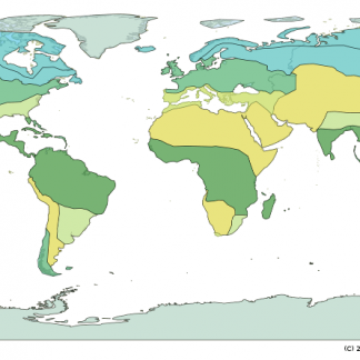
Blackline World Map
$30.00Blackline world map showing country outlines and ice age coastlines, using geographic projection (equator mid-way).
Printed at A0 size (1,189×841 mm) on strong Tyvek®.As used in our Understanding Our World® HASS+Science program.
Showing all 2 results


The kit was easy while still fun to build (except maybe for fitting the wires in). This was a fun…
Florence (15) and Keito (14), students at Hakusan International School